

New Delhi: NASA has teamed up with the Indian space organisation, ISRO to launch the NISAR Satellite through the C-130 Hercules which is set to take a multi-leg journey across continents before arriving at the final destination in Bengaluru, India.
The American Space Agency has confirmed that the aircraft will make several stops along the way. The journey will also include March Air Reserve Base in California to pick up the radar antenna reflector from NASA’s Jet Propulsion Laboratory.
The C-130 Hercules is set to make a long voyage traversing 24,500 nautical miles and will be airborne for more than 80 hours. The aircraft is set to make the journey over Hawaii, Guam, USA and the Phillippines before stopping in India. With the launch of the NISAR satellite, scientists will be able to monitor various geological phenomena and formations of Earth thereby pushing Earth’s monitoring technology beyond known boundaries.
When will the NISAR satellite be launched?
The satellite is scheduled to be launched in February 2025 from the Satish Dhawan Space Centre in Sriharikota. It will be carried on ISRO’s Geosynchronous Satellite Launch Vehicle Mark-II (GSLV MK-II).
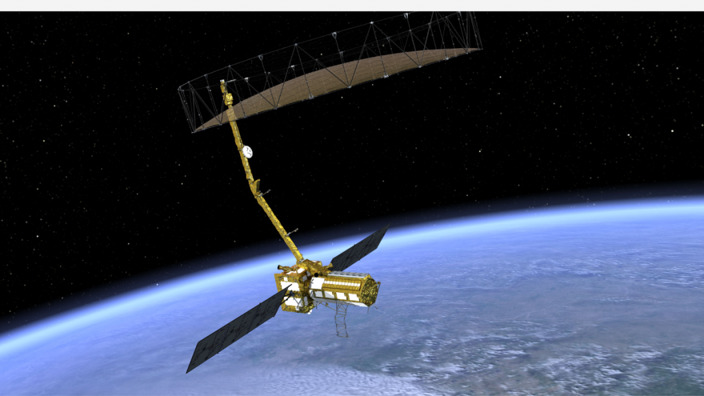
What is the NISAR satellite?
NISAR is a satellite jointly developed with the collaboration between NASA and ISRO. It will be providing critical data about Earht’s surface and will orbit the planet every 12 days. NISAR will help in monitoring ecosystems, ice masses, sea levels, vegetation and natural hazards like earthquakes and tsunamis. The data will offer some unprecedented knowledge about the earth and its environment which will help geologists understand the Blue Planet better.

The satellite comes retrofitted with the state-of-the-art Synthetic Aperture Radar (SAR) system. NISAR operates both on S-band and L-band frequencies. Interestingly, the dual-frequency capabilities of NISAR make it the first satellite to have such a feature. Unlike traditional imaging systems, SAR can penetrate clouds and darkness.