Cyclone Remal likely to cause heavy rains in West Bengal, coastal parts of North Odisha: IMD
Cyclone Remal likely to cause heavy rains in West Bengal, coastal parts of North Odisha: IMD
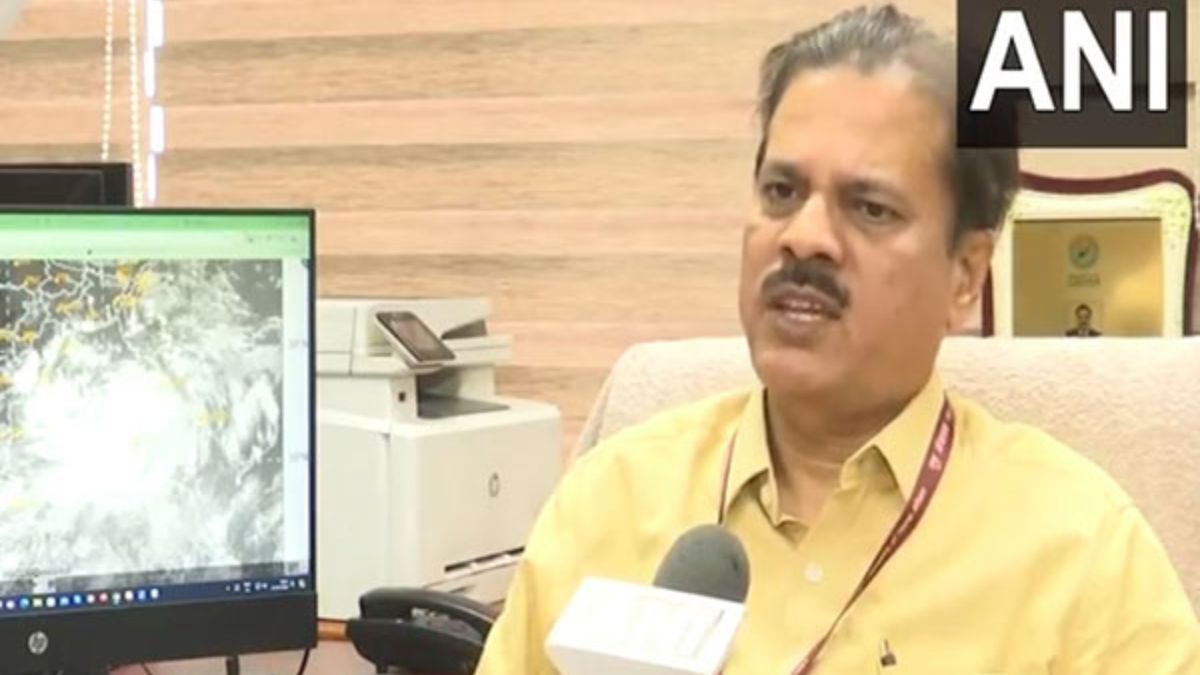
According to the IMD, under the influence of yesterday's cyclonic circulation over the Southwest Bay of Bengal, a low-pressure area has formed over the Southwest and adjoining West-central Bay of Bengal and persisted over the same region as of today.