

Lucknow: In a bid to usher in transparency and speed in operations of all works undertaken by the Public Works Department in Uttar Pradesh, the government is developing an estimator, monitoring and digitization application wherein details of all the PWD projects would be available for tracking.
With this app, every information about the roads under the PWD in the state will now be available online. Real time monitoring of departmental projects can also be done, for which survey will be done with the help of drones and satellites.
Work is already being done under the Srishti, Vishwakarma, Chanakya, Sentinel and Court Case Monitoring System in the department. Now, to facilitate speedy processing of services under the public works department, the estimator, monitoring and digitization app is being developed under an integrated system. The objective is to complete the works on time.
As per the directions of the government to implement E-office system in the department and expedite the work of digitization, the PWD will mandatorily implement the system from January 1, 2023. For this, work will be started in a phased manner from July 1, 2022 at the headquarters level.
It is noteworthy that the estimates formed at the block level in the department through Estimator software can be obtained completely online at the headquarters level. After the app becomes operational, the process of formation of estimates, revision of tests at different levels will be possible in a time bound manner and without much effort.
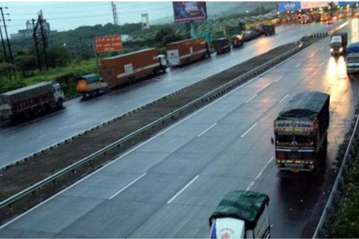
Through the monitoring app, photographs of any patch / pit on the roads on the state roads and major district road level will be uploaded and available on the mobile of the concerned junior engineer, assistant engineer and executive engineer. After repairing these pits by the department, the photo will be uploaded again. This will bring transparency in the work and public will also get convenience.
With GIS mapping, each part of the road will be fed co-ordinates. The condition of the road can be seen from those coordinates. The work of GIS mapping will be completed soon.