


-
- Published: June 9, 2020 16:44
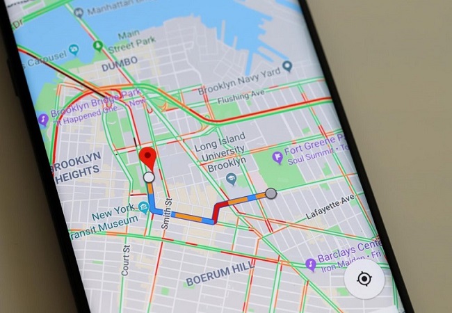
New Delhi: Google on Monday introduced new features to Google Maps that aim to inform users better about how their trip may be impacted due to the coronavirus. When a user will look up public transit directions for a trip that is likely to be affected by COVID-19 restrictions, Google Maps will show “relevant alerts” from local transit agencies.
Transit alerts are rolling out in Argentina, Australia, Belgium, Brazil, Colombia, France, India, Mexico, Netherlands, Spain, Thailand, United Kingdom and the US where the company has information from local transit agencies, with more coming soon.
“We are also introducing driving alerts to notify you about COVID-19 checkpoints and restrictions along your route, like when crossing national borders (starting first in Canada, Mexico and the U.S.). You will see an alert on the directions screen and after starting navigation if your route is impacted by these restrictions,” Google Maps Product Management Director, Ramesh Nagarajan, said in a statement.

Nagarajan said that users will now be able to see the times when a transit station is ‘historically more or less busy’.
“We are now making it simpler for people to contribute crowdedness information for their transit lines. Look up directions, tap through to see the transit details, then scroll down to find crowdedness predictions (where available) and easily contribute your own experiences,” he said.

“…Starting today, you can easily see the times when a transit station is historically more or less busy to plan your trip accordingly or you can look at live data showing how busy it is right now compared to its usual level of activity. Simply search for a station in Google Maps or tap on the station on the map to see the departure board and busyness data, where available,” Nagarajan added. (ANI)